
Pemberton Lake ADA Accessible Trail – Pemberton Lake Wildlife Management Area (WMA) – Pemberton, Burlington County, NJ
Distance – 1.4 mile out-and-back (0.7 miles one way) or 1.7 mile lollipop (mostly an out-and-back, with a bit of a loop at the end).
Type – Out-and-back or lollipop
Difficulty: 1 of 10
Website –NJ WMA Website, but the write up at accessnaturenj.org is more useful
Open – Sunrise to Sunset.
Terrain –woods, wetlands, and lakeside
Surface – Crushed stone
Trailheads – Trailhead on Magnolia Road – N 39° 57.536 W 074° 40.341

Trailhead on dirt Colemans Bridge Road – N 39° 57.354 W 074° 39.803

Directions – parking lot near 130 Magnolia Road, Pemberton, NJ
dirt parking lot on Colemans Bridge Road
Parking – Small, gravel lot on Magnolia Road and a larger dirt lot on Colemans Bridge Road.

Dog friendly? Yes
Stroller friendly? Very!
Benches? Some benches along the way
Facilities?: No bathrooms or port-a-potties that I saw. There is a fishing pier and a boat launch.

Markings – Yellow blazes

Map – No official map I have found, but posted my GPS track.

Description –
Back in October, the ribbon was cut on a new ADA accessible trail in Pemberton (article from the Pine Barrens Tribune).
Then, on a cold January day, I snuck a pair of hikes in at Long Bridge County Park and at Buttonwood Park before going to hours of history talks at the library. Afterwards, it was still light out AND the kids were not going to be home from dinner from Nana and Pops… one more cold hike? One more cold hike! I realized I was less than 20 minutes from this trail…. yes!
Parking on Magnolia Ave, I wasn’t sure where the trail was (it turns out it was right in front of my face, but I thought the pathway led only to the fishing pier). So I drove around the corner to the second parking lot on Colemans Bridge Road… hey, a trailhead!
I had plenty of light for the hike, but also had the promise of a sunset on the way back, what more could I ask for? Other than a few more degrees?
The trail is built for people in wheelchairs, but the gate is specially made to keep ATVs off the trail (the wheels would destroy the crushed stone that makes this pathway ADA compliant), but let wheelchairs onto it.
I won’t lie, I didn’t have huge hopes for a crushed stone trail next to a lake, but this was almost immediately lovely. The lake views were lovely. The alternating forest on the other side of the trail, which went from more upland trees to swampy areas was lovely. The quiet was lovely. The tiny bits of snow were lovely. Or maybe it was just the light this time a day that had me so bewitched.
 View from the 2nd parking lot.


 No, not that bewitched.
The trail bounced along the edge of the lake for a good stretch, which is not a bad thing.


 No, not that b*witched.
The trail eventually left the lakeside for a bit. It headed into an area with strangely placed guardrail fences. There were lower, swampier areas that looked like cranberry areas to me (although I could just be bewitched… wrong! I could be wrong!). Eventually, passing through a set, there were some foundation walls as well.


 No, not that… wait, what the heck is that?
Coming near the end, I took a walk out on the fishing pier, immediately seeing the trail I’d overlooked when I’d first parked.


Whoops.Turning around, I headed back toward the parking lot.
 I give up.
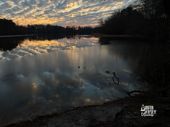 That’s better.
Most of the way back, I noticed that the trail split. No reason not to take the other split! It led away from the lake, past some concrete remains, and to the dirt Colemans Bridge Road.


I took the right turn onto the road to head toward the parking lot.


Back in the parking lot, just a few million more shots of the lake while I shivered before calling it a day.

 I give up.
Ratings:
What I liked – The lake, the building remains, the lake, the witches, and the lake.
What could be better – the witches.
Overall rating – 8 of 10 – lots of things to see along the lake for such a short out-and-back!
Nearby: Some nearby trails include the North Branch Trail, the Pemberton Rail Trail, and the trails at Whitesbog,