Cooper River Water Trail – Evans Pond, Cherry Hill, NJ to Crows Woods, Haddonfield, NJ
Distance: 2.9 miles official miles total round trip (1.45 one way)
Type: Out and back
Difficulty: 7 of 10 – drag around and a few spots you need to get in and out to maneuver
Website with maps and info – Cooper River Water Trail
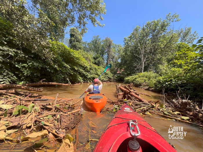
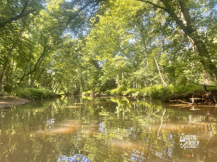
Terrain – Very shallow creek through the woods and marshes
Put ins – Next to the dam at Evans Pond in Cherry Hill – N 39° 54.049 W 075° 01.245 . No put ins at Crows Woods (at least that we could figure out!), need to put in at Evans Pond and take out at Evans Pond.
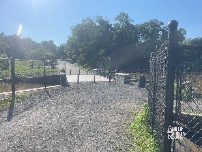 Official launch is on the right just after the bridge.
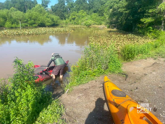 Unofficial launch we ended up using (this would NOT WORK and be DANGEROUS when the water levels are higher, because it’s next to a spillway)
Rentals – None at this time
Address – For the park side, you can go here
For the other side, you can park here.
The parking areas are maybe 100 feet apart, but you can’t go from one to the other over the dam.
Parking on park side in the distance (over the dam and past the official launch spot)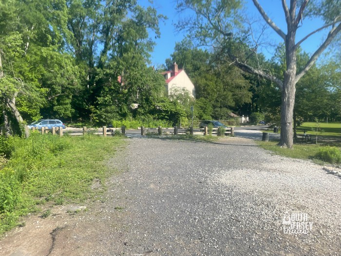 Much smaller lot near the apartments.
Maps (official and our track):
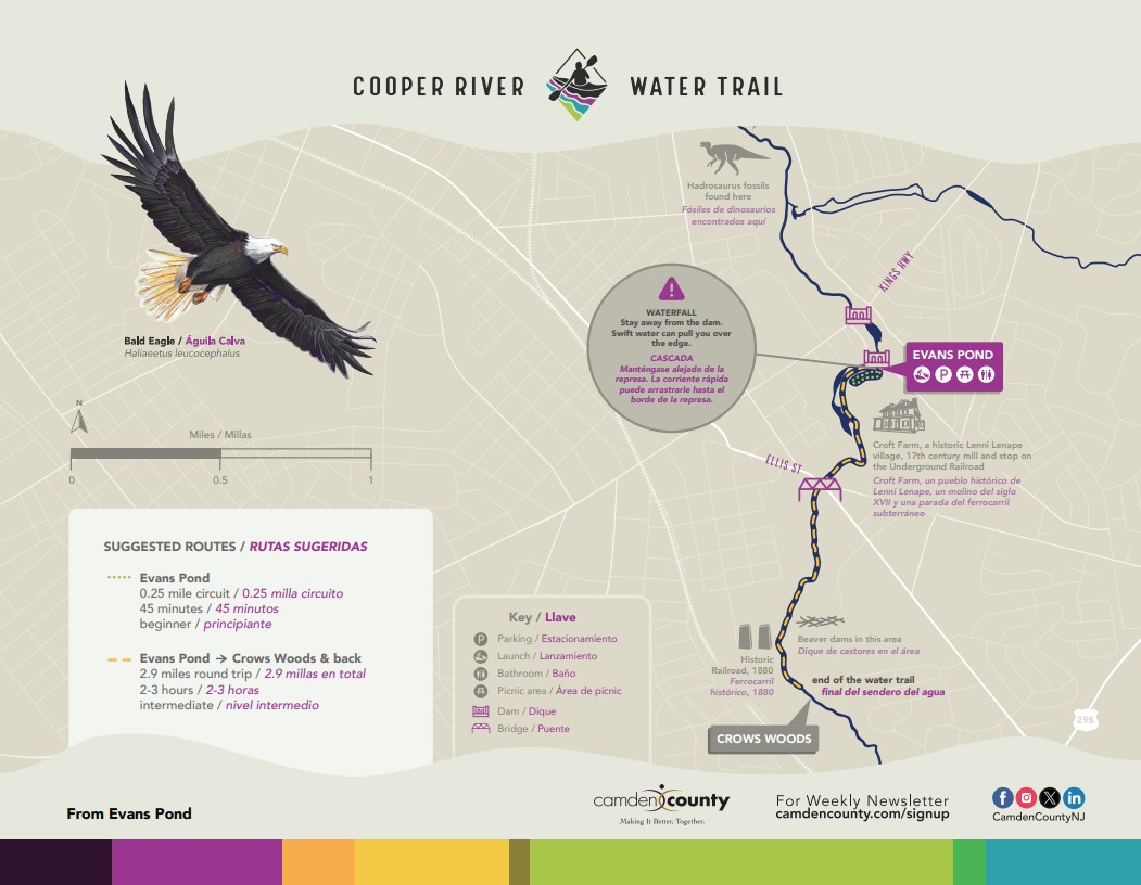 Available from https://www.camdencounty.com/service/parks/maps/
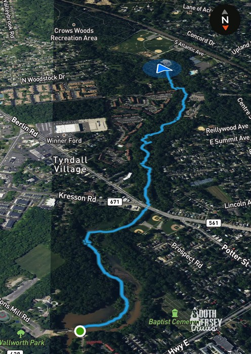 For fun, our route. Note that this is upside down from the map above.
Description:
In June 2025, Camden County unveiled the brand new Cooper River Water Trail (okay, maybe the Cooper River itself isn’t new…). This was exciting! Wait… how does it go from Evans Pond… to
… Crows Woods? This didn’t seem like it would work, the creek is so shallow there.
Luckily, there’s another Mike as crazy as I am (maybe crazier), so Mike of Family Adventures New Jersey and I hatched a plan to ascend the mighty Cooper to Crows Woods, or to get really muddy and discouraged trying!
So my first day off from work for the summer, we set off before the worst of the heat set in. After scouting around a bit, we got the kayaks into the water at Walworth Pond (Evans Pond is the wrong side of the dam for the trip we were doing) and headed upstream. Now a few things up front:
– it is really shallow
– like, really really shallow.
– like, starting right away
– and we’ve had rain lately.
– I’d hate to imagine it in the drought.
At first, it can be a little tricky, as there are three ways the water goes. Left is the main body of Evans Pond and the viewing platform at Croft Farm Nature Trails, but is a cul-de-sac. To the right (can’t go that way right away) you’ll eventually dead end I think. Stick to the middle way!
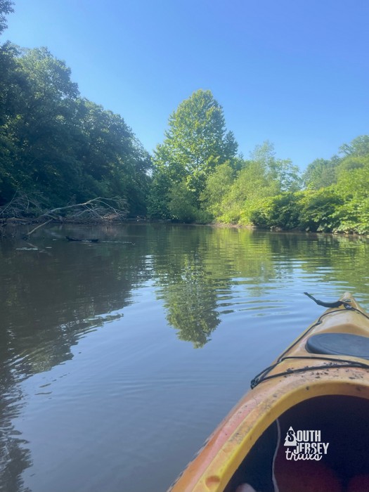
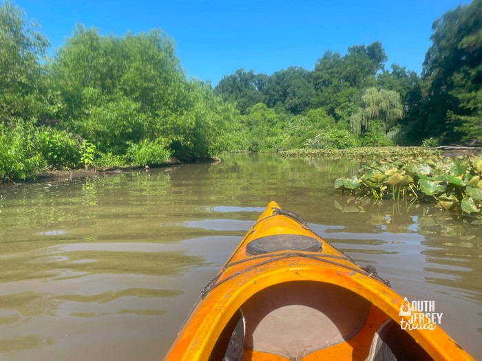 And we’re off!
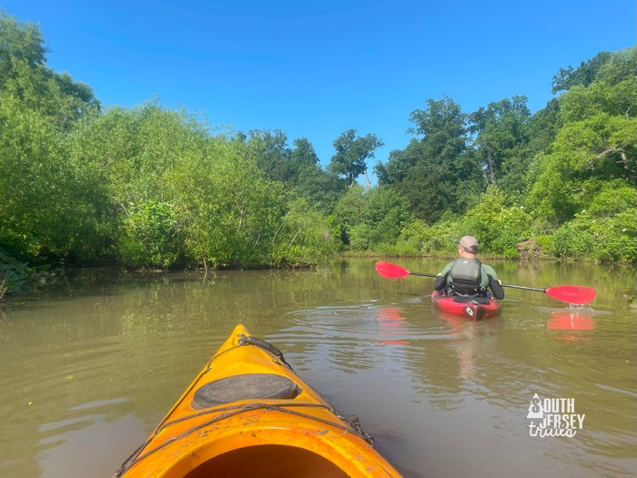 Immediately hitting some shallow areas, and I’m starting to think, “How far will we actually be able to go?”
We immediately started finding all the shallow parts in the pond, and I wondered how far we’d actually get of the 1 1/2 miles to Crows Woods… could we even make it 1/4 of a mile? This was the beginning of the blistering heat wave and, although it was early, we had to wonder how much we’d be in the sun.
Man, I’d make a lousy member of the Lewis and Clark Expedition, I’d still be sitting in the water off of Saint Louis!
There’s also a lot of trash. Like a whole lot. Like, I need to go again and bring trash bags and trash bags and maybe the canoe to carry them behind me.
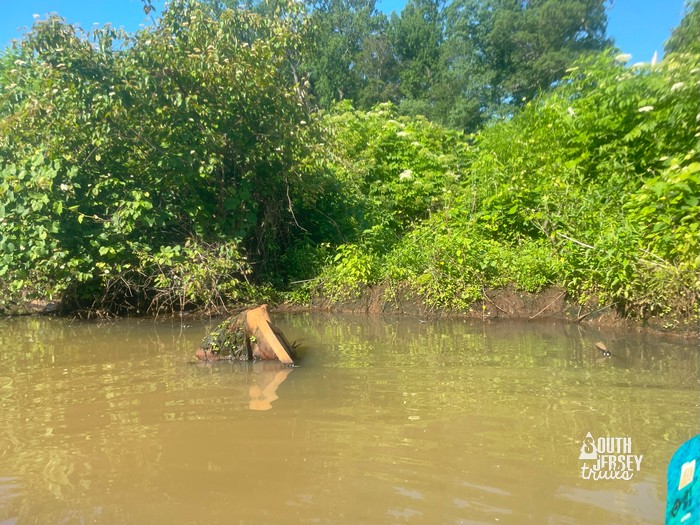 This is not going to fit in a trash bag.
We rounded the corner to the back end of the Croft Farm Trails, where the water wasn’t any deeper, but it was a little shadier in spots!
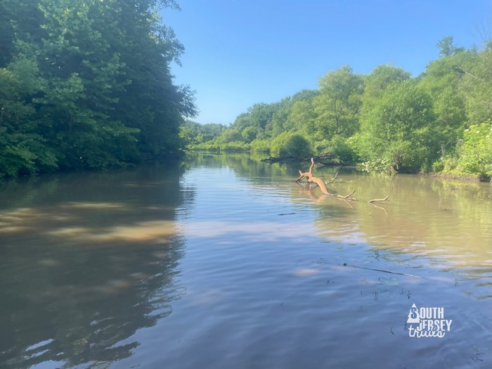
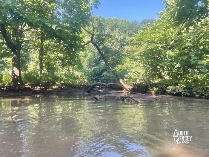
And then we hit the first major obstacle, only maybe 1/3 of a mile into the trip… the waterway was totally blocked by what looks more like blow downs and wash outs than a beaver dam to me, but you never know for sure. No way over. Luckily, there was a way around on the left to drag your watercraft. Hooray!
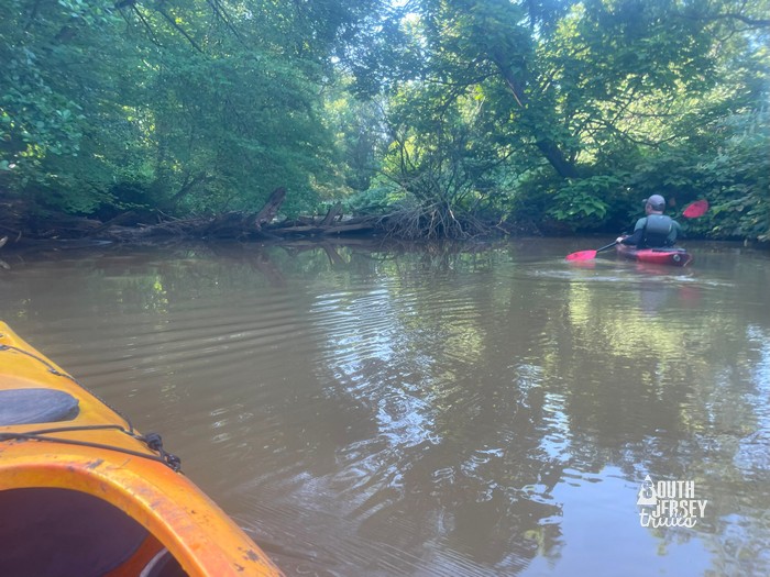 Here it comes.
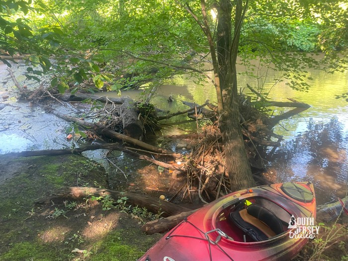 Out and around.
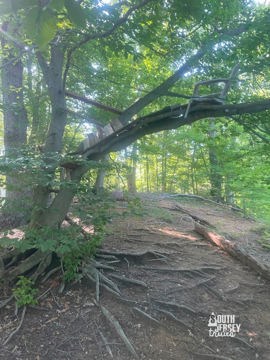 A+ to these kids.
Then we were back in the water where, for the first time, it was a little deeper. Now when I say a little deeper, I mean that I’m not sure the water at any point on this whole trip would have covered my knee. But when we’d been scraping the bottom almost from the first stroke of the paddle, we’ll take any amount of deeper that we can get!
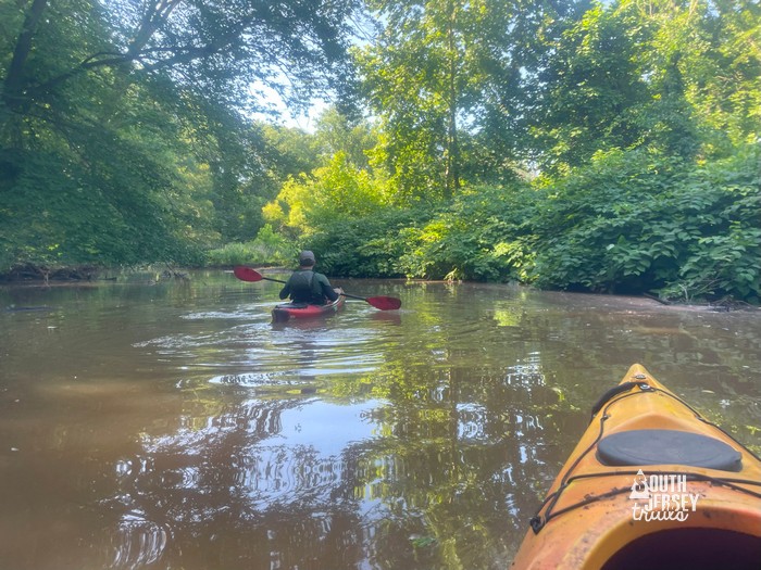
The next section was delightfully uneventful. It opens back up in another meadow at a big turn in the river. It then enters the shade at the Haddonfield baseball fields and then pretty much stays in the shade for rest of the trip (Hooray!). You and the river slide under the Ellis Street Bridge just past where Ellis Street and Kresson Road meet, roughly 1/3 of the way to Crows Woods.
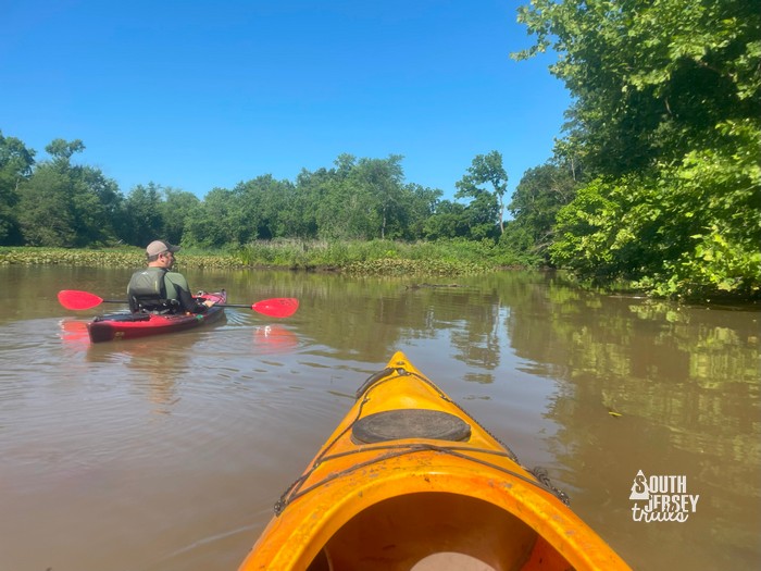 Out in the meadows.
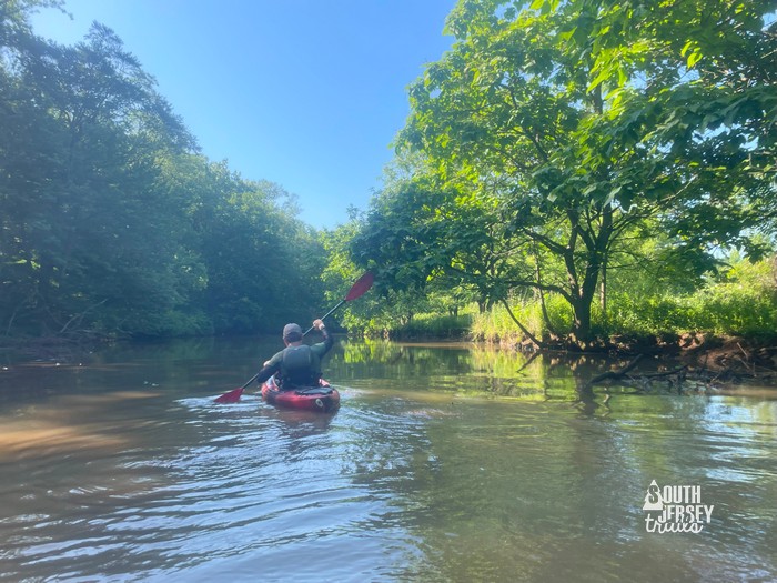
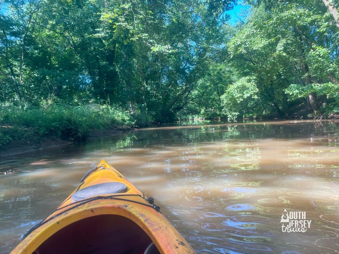 Paddling along.
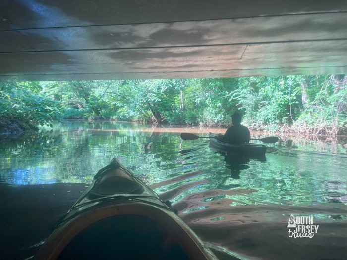 Under the bridge.
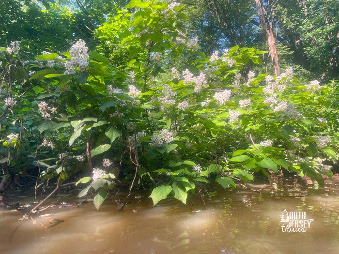
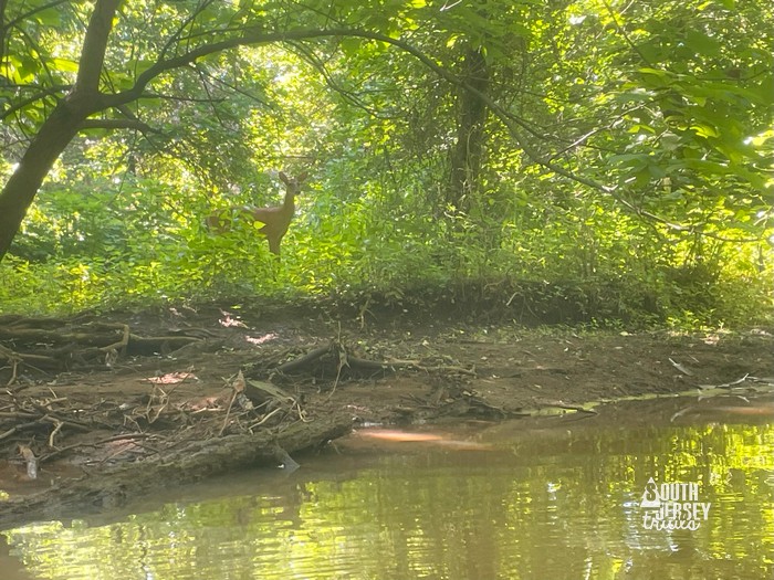
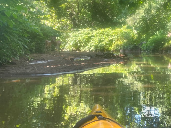
Just after the bridge, there was a delightfully cool spot. I have no idea why, but if my air breaks, all the kids are going in the canoe and we’ll just sit in that spot all day. There were some flowering bushes, then some deer surprised us, then some more deer surprised us! Then… uh oh, low bridge.
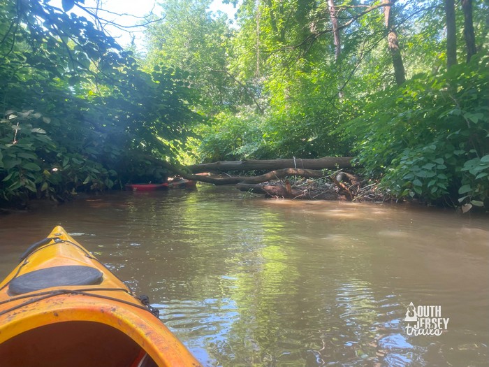 That’s not good ahead.
Mike maneuvered under first, then it was my turn.
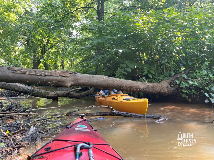 Looking graceful and competent, as always, as I nearly lose my hat. Also, all the photos of me are courtesy of Mike Ralph.
By this point, we’d gotten through two major obstacles, which meant we were honor bound to go all the way up to Crows Woods. Sunk cost factor is real! It shortly just became a question of how much of that we were going to get out of the kayak to hike down the river.
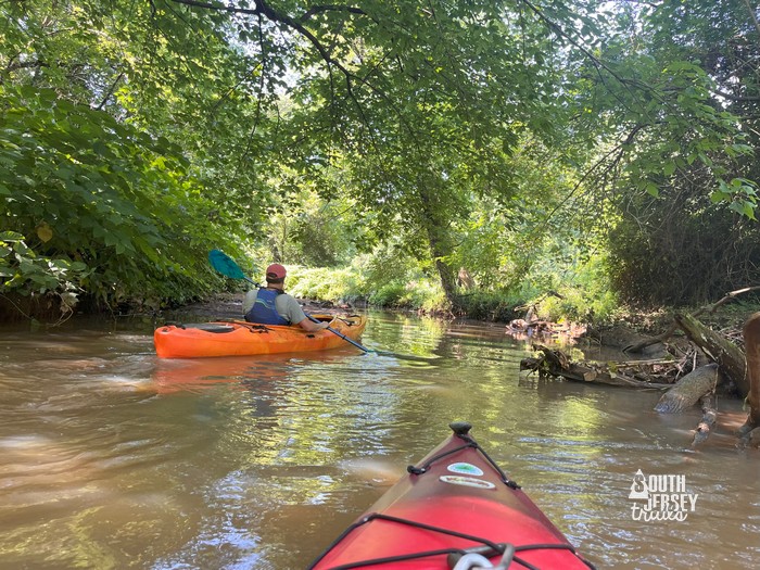
Which was good, because we started hitting obstacles regularly. Downed trees with the water just flowing over them, with shocking amount of water power trying to push you back for such a tiny river (creek, it’s really a creek. FUN FACT – the Cooper River was always known as Cooper Creek until someone discovered that Congress didn’t give out funds to help creeks, only river. Hey presto! Cooper River. Handshakes all around! Thanks Governor Woodrow Wilson! You may have been a terrible president, but Camden County got a second river out of you!)
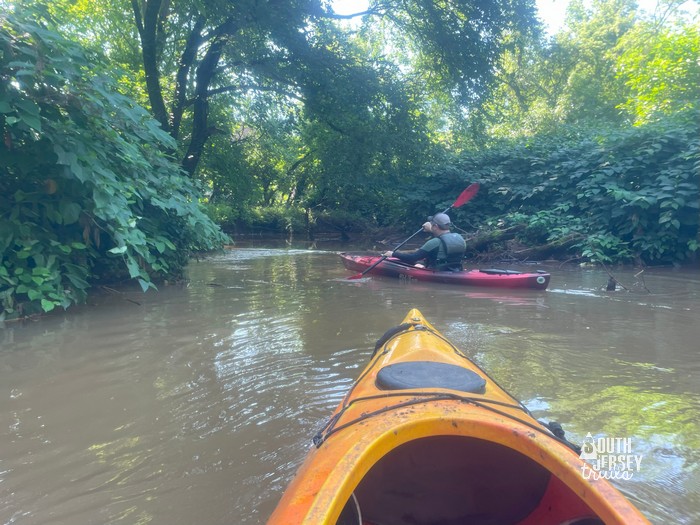 We’re off! Again!
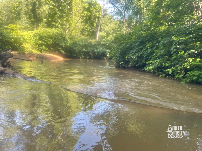 This one was tricky.
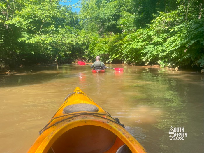 Doing well…
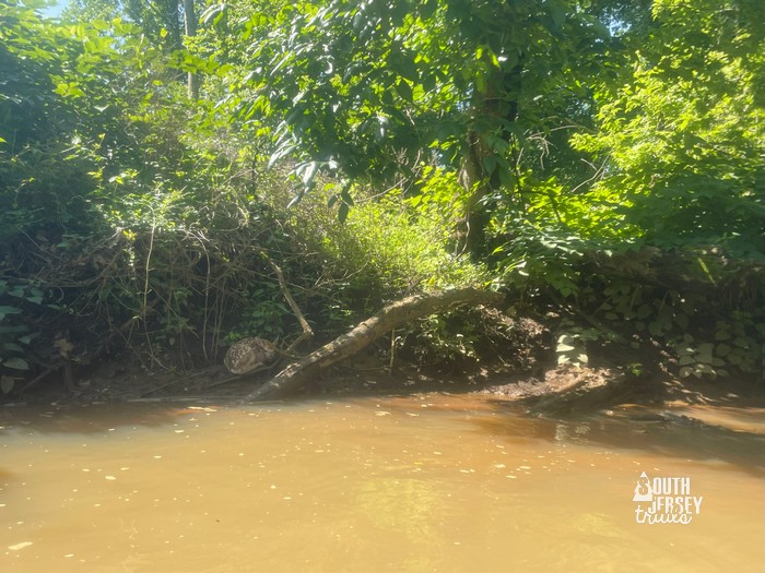 Hello little fawn! This one was really, really new.
The next obstacle didn’t look bad at all, except that the force of the water was both really strong AND wanted to push you sideways into the local vegetation.
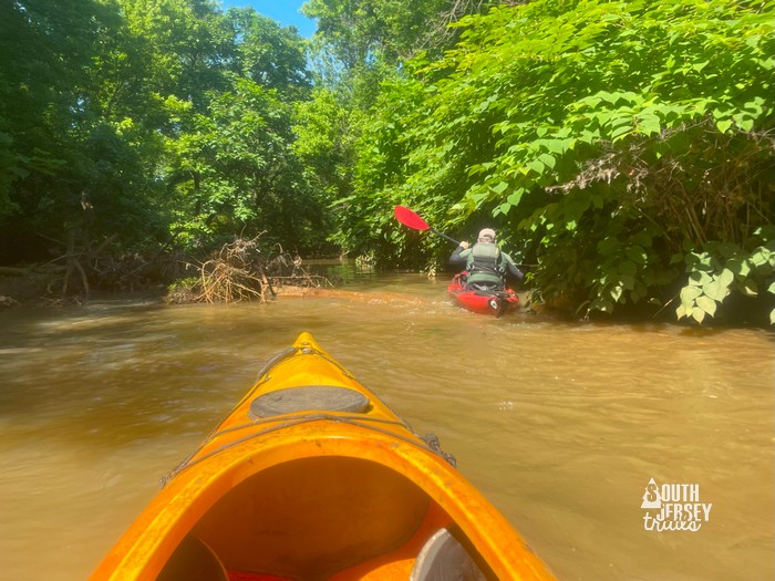 Doesn’t look too bad…
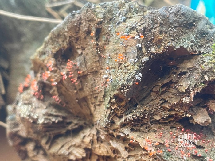 It was bad. I floated back a bit and found maybe some British soldier lichen.
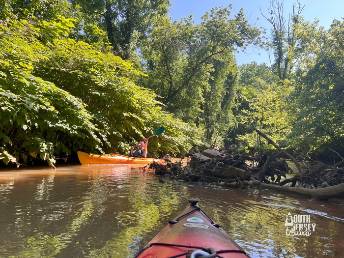 Then it was my turn. First time, I went into the bush AND got pushed backward all the way. Second time I made it! Plus went into the bush again. The was with getting a “running start”. Photo courtesy of Mike Ralph. You may think Mike is just getting the best photos of me, but I’m usually exactly this amount of photogenic. It’s why I’m usually the one taking the photos!
We passed a bike rack and some pipes and then hit a new obstacle… a spot where we had to get out and walk. Now we were committed by this point (or maybe that’s should be committed?), we would have hiked all the way up to Crows Woods, but luckily it was maybe 200 or 300 feet before we got just enough water under us to paddle again.
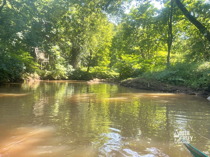
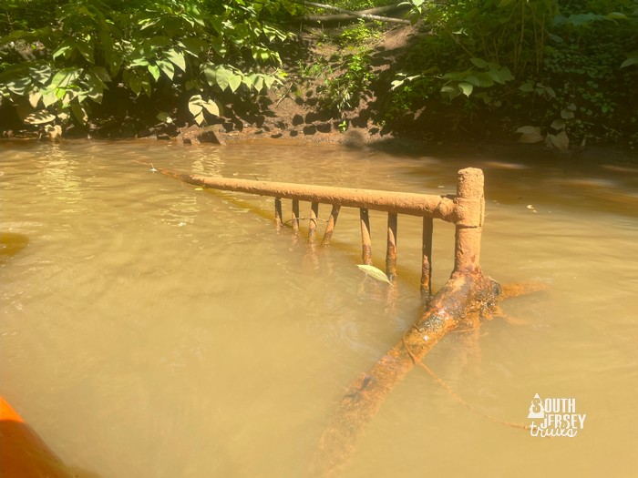 This would take more than a trash bag.
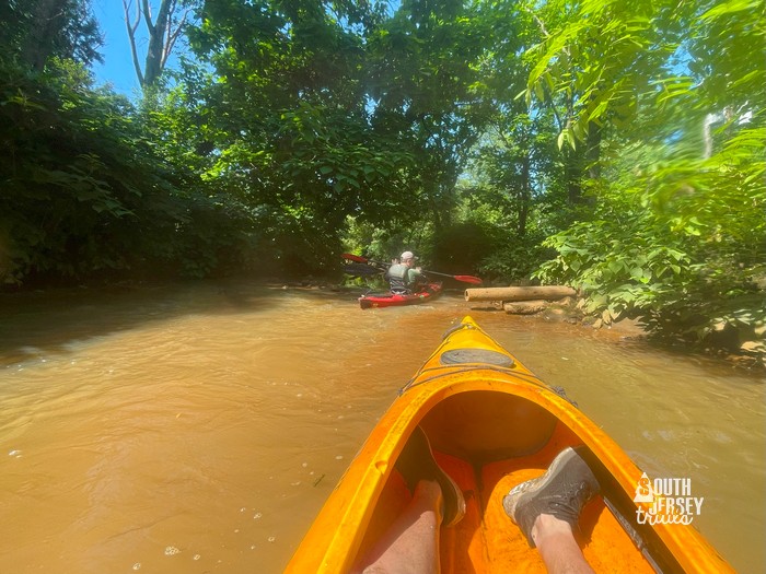 We’re doing great!!!!
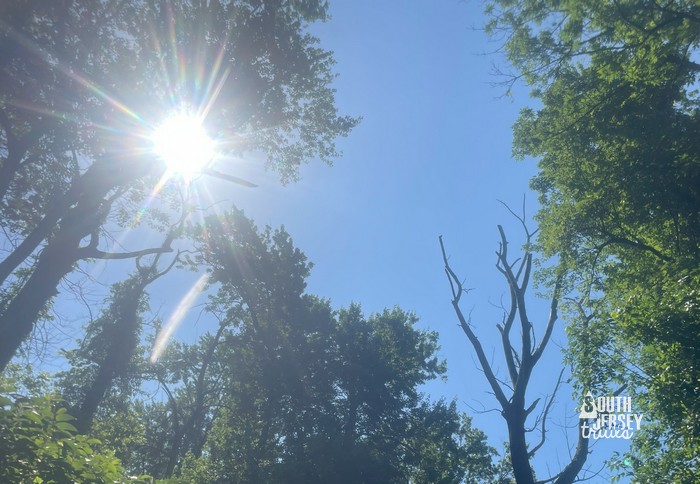 Which means something should go wrong soon.
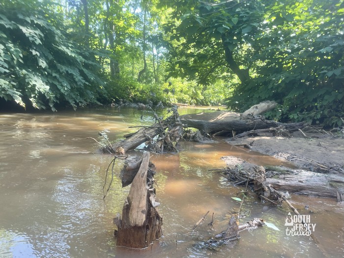 And it did.
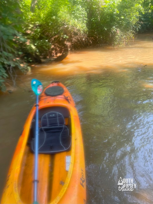 Good thing this is a hiking blog.
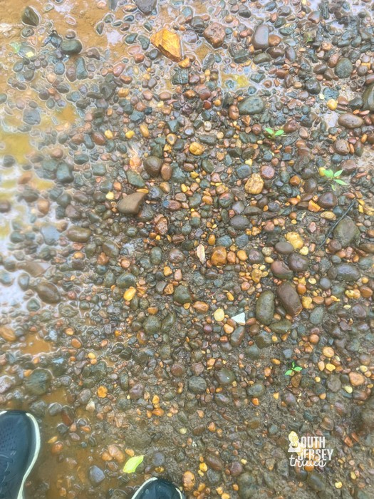 Good trail surface. Oh, that’s supposed to be the river? Whoops.
 Luckily, it got a bit deeper.
We then hit a neat section of paddle near Mountwell Woods behind the Haddonfield Public Works Department. They had some old pipe and some new pipe and a really old retaining wall and much newer retaining wall.
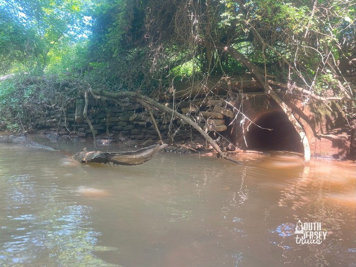 Neat.
Neat.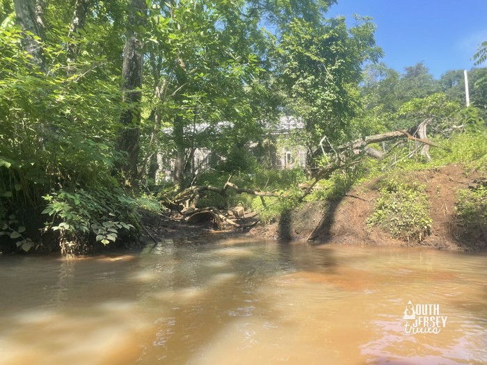 Old building on the property, maybe the water works? Sewer works? I haven’t an idea, but it was neat.
Shortly after that, Mike and I hit the highlight of the trip, an 1880 train trestle on the Medford Branch of the Philadelphia, Marlton & Medford. The pictures don’t do it justice.
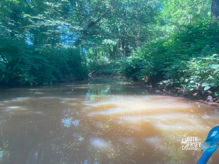
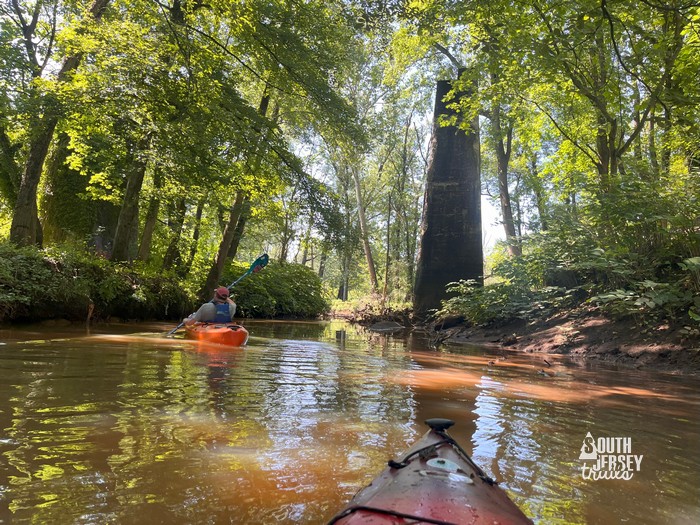 Photo by Mike Ralph.
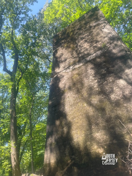 Huge.
Huge.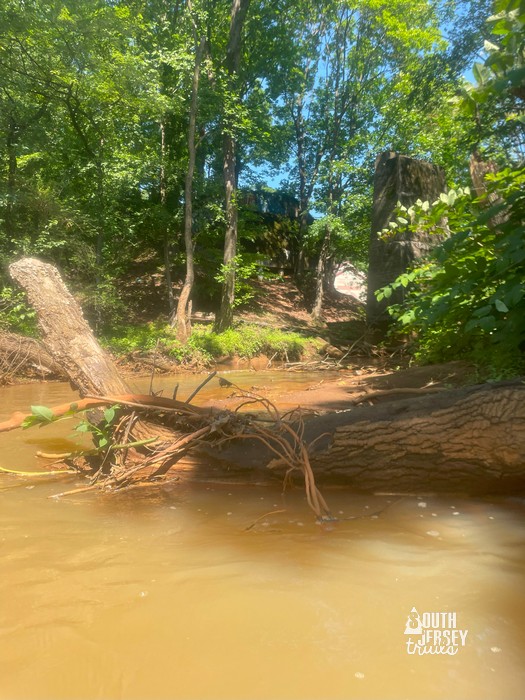 Photo looking back once we passed them.
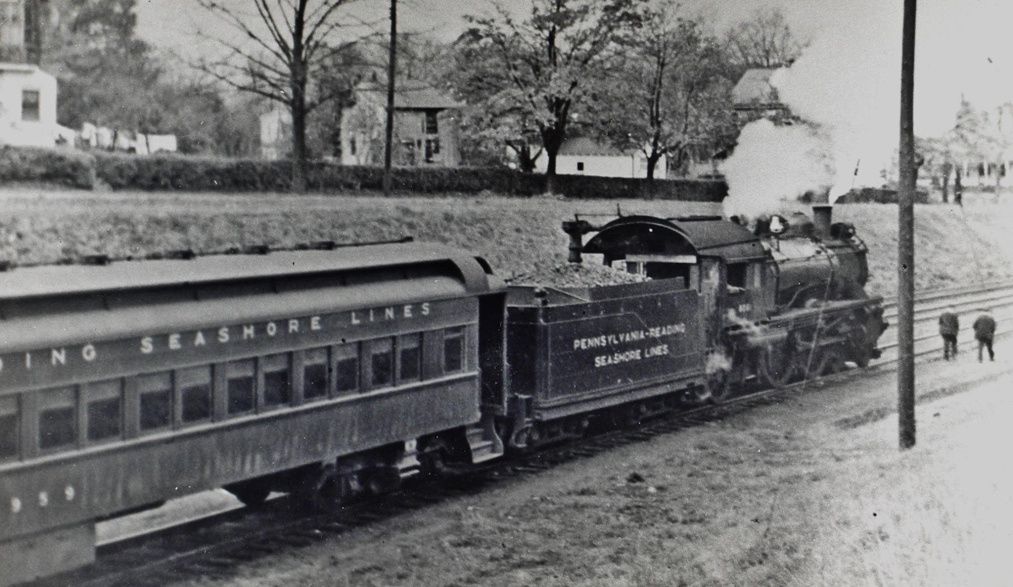 Photo from Haddonfield United Facebook page.
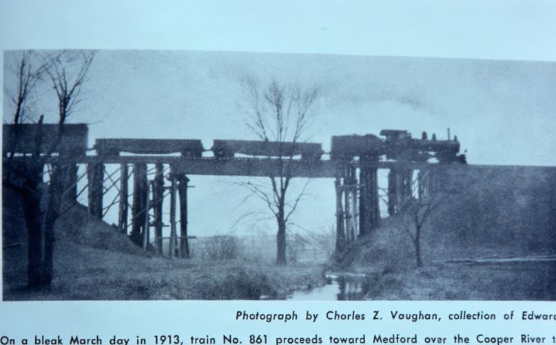 Photo from the Haddonfield United Facebook page of the bridge over Cooper Creek. Wow, it looks different!
Then it was time for the grand finale of our trip! In quick succession, a partial blockage with a lot flow that I thought about getting out to try to navigate around but decided to stay in the water because poison ivy. This was actually where I took the “looking back” photo of the railroad bridge.
Then, another strong slow spot with a low bridge that I totally was going to go under, but somehow ended up in the crook of the downed tree. Mike made it through fine underneath the low overhang.
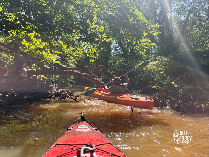
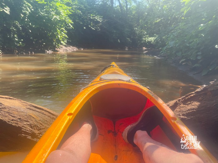 Whoops!
Then our second “water it too low hike”, although a short distance.
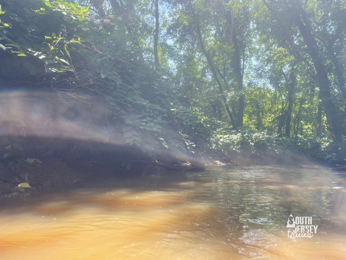 We’re good!
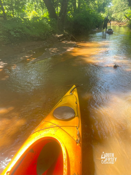 Oh, we’re not good.
Back into the boat and right into a serious beaver dam that we had to push out kayaks over and then climb over. Well done beavers.
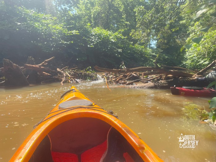 That doesn’t look good.
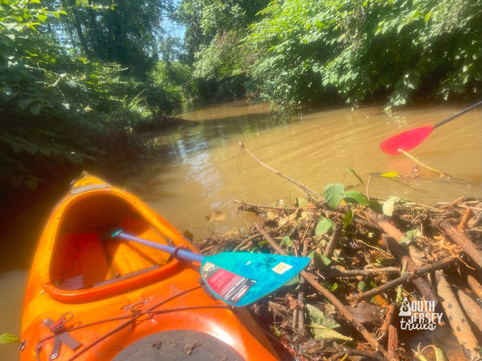 It wasn’t.
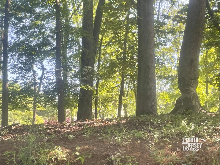 And the beavers clearly have ambitious plans here.
But that last beaver dam got enough water under our kayaks to paddle up to another, much bigger beaver dam…
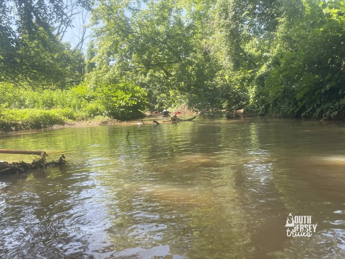 Oh no, another one.
But as we approached, we noticed a sideways sign… that’s odd…
It was the end of the water trail! Or rather… the start of the water trail!
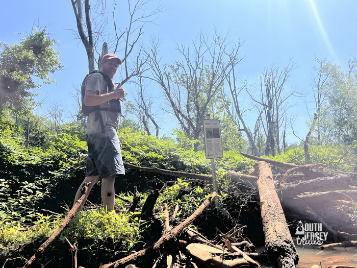 I boldly got out first. Then the creek tried to kill Mike and cut his leg. Just when we’d thought we were safe! Photo by Mike Ralph, right around the time he was viciously attacked.
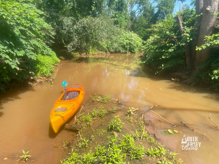 What an accomplishment!
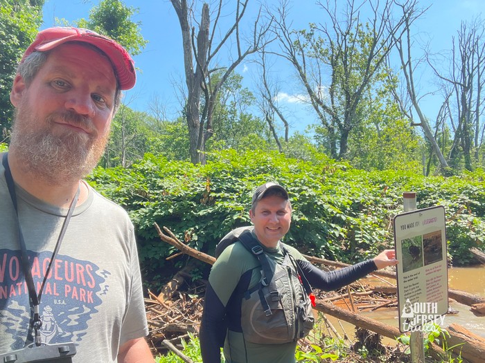 Victory shot!
With the trail having been officially, ribbon cutted open for all of six days at this point, we wondered how many had made it this far other than the poor folks who had to drag that sign stuff up here. I should have brought a strongly magneted waterproof container for people to sign that made it this far! Alas, I did not.
It took us two hours to go the official distance of 1.45 miles. Lightning McQueen has nothing on us!
Of course, there’s no take out here (that we know of or saw), so it mean time to turn around and head back. WOW WAS IT SO MUCH EASIER GOING BACK!!!! I cannot believe how much push a little tiny stream has. We only had to get out and walk once on the way back, and the obstacles we strained to muscle over on the way down, we floated over like a fun kids’ ride on the way back.
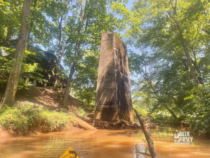 Train trestle. You’re lucky I posted as few photos as I did.
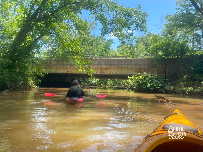 Ellis Street Bridge.
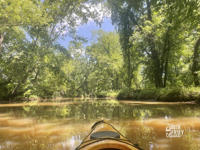 So much wider behind the baseball fields. It didn’t look this wide coming up stream?
As we reached the spot where we had to get out of the kayaks to haul them around the jam up (trickier in this direction), we did discover a head in the water.
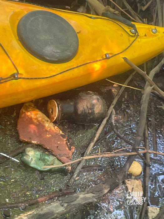 Ugh.
Ugh.Being the good citizen that I am, I fished it out and put it at the bottom of the tree house tree. Enjoy kids!
Then it was back into the now-much-hotter-sun and we soon arrived back at the dam at Evans Lake.
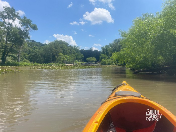
We paddled over to check out where we were supposed to launch from, which had an official sign.
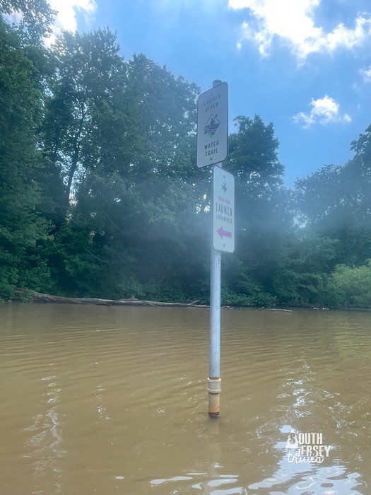 Official!
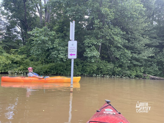 I am heading the wrong way somehow. Photo by Mike Ralph.
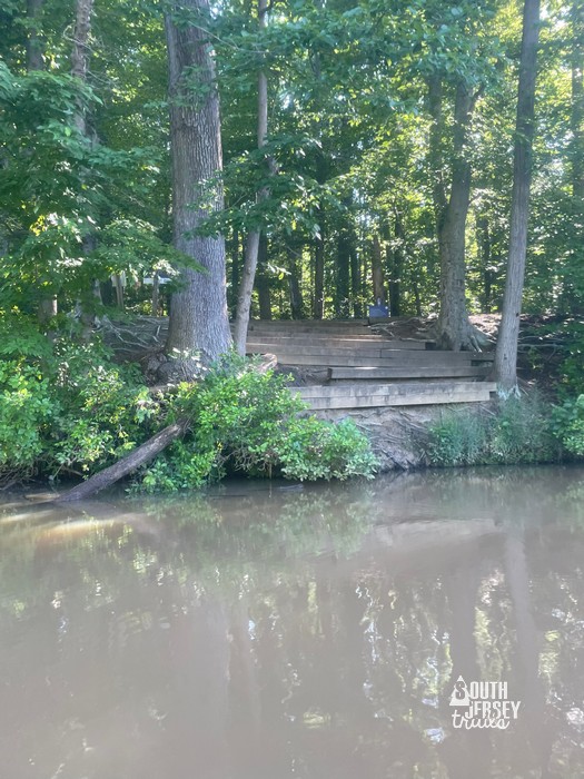
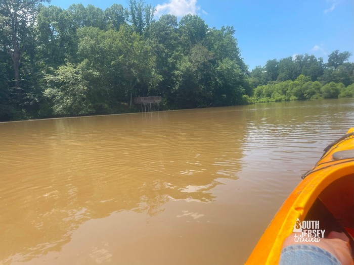 Viewing platform on the Croft Farm Trails.
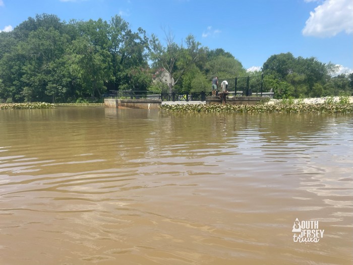 The dam. Stay away from it in your kayak, it can ruin your day pretty quick.
Kayaks out of the water and up the cars and home to hose the mud off myself with my second shower of the day. Good adventure!
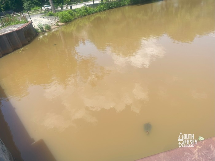 Also, giant snapping turtles just below the dam. Waiting for stunned fish to fall over it?
Nearby: YOU HAVE ENERGY LEFT!?!?!?!?!? Well, there’s about 14 more miles of the Cooper River Water Trail, all the way down to the Delaware River. The next most accessible to put in behind those turtles and to the 1/4 mile round trip in Walworth Pond.
We’ve haven’t done the next stretch either yet, from Walworth Pond to Grove Street (about a mile one way), but then have a post on going from Grove Street in Haddonfield through Cooper River Park all the way out to the dam by Kaighn Ave in Camden. That leaves just the 2 1/2 miles from below Kaighn Ave to Cramer Hill Waterfront Park, which we haven’t done. Can’t wait to do the whole thing!